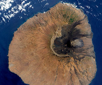
Mount Fogo, Cape Verde
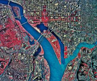
Washington, D.C.
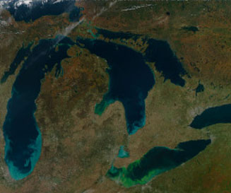
Great Lakes
With our proven production level skills in automated image processing, algorithm development and physics-based signature extraction, Galileo Group provides timely and economical solutions for multispectral and high resolution satellite image analysis:
-
Land Cover / Land Use Classification
-
Change Detection
-
Thematic Feature Extraction
-
Object-oriented classification
-
Spectral Unmixing