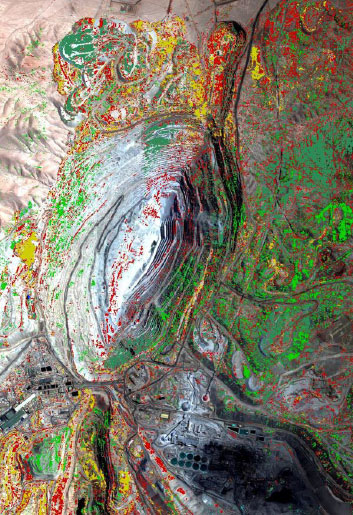
Airborne hyperspectral imaging has become a very helpful tool to improve established mineral, oil and gas exploration techniques, to narrow the focus, to reduce the cost and risk of more expensive exploration assets. It provides the possibility to derive high resolution mineral maps, alteration maps and mineralization zone maps from the spectral information that facilitate the rapid assessment and prioritization of mineral exploration targets as well as identification of oil seeps and bitumen and the detection of microseepage through hydrocarbon-induced surface manifestations for oil exploration. The technology is being used by major mining and oil companies and governments for exploration and reconnaissance worldwide.
Galileo conducts turnkey airborne missions in remote parts of the world to detect and analyze spectrally relevant site features for prospective exploration purposes
-
Mineral Mapping
-
Alteration mapping
-
Hydrocarbon detection
-
Oil seeps and bitumen-rich rocks
-
Identifying prospective mining targets

