Remote Sensing as a valuable tool for Agrisciences
Emerging technologies, such as hyperspectral imaging and 3D Laser Scanning, are capable of rapidly providing enhanced information and plant metrics across thousands of acres with the spatial resolution to delineate individual plots and/or plants and the temporal advantage of tracking changes throughout the growing cycle. Conventional methods are often time consuming and generally categorical in contrast to what can be analyzed through automated digital detection and analysis technologies categorized as remote sensing tools.
Mapping, Monitoring and Detection
The trained use of hyperspectral imaging, spectroscopy and/or 3D mapping allows for the substantial increase in the number of scalable physical observables in the field or in the greenhouse. Mapping, analyzing and digitally rendering crops with advanced computational algorithms to form a complete virtual model for describing unique mathematical observables corresponding to a variety of key plant traits. In effect, the multi sensor collection approach creates a virtual world of phenotype data in which all the crop observables become mathematical values.
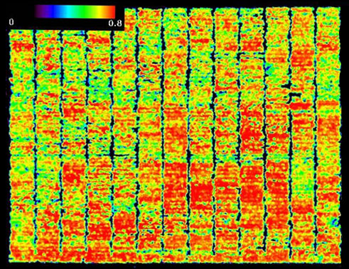
Crop Health Monitoring
Signature Libraries and Temporal Trends
With repeated multitemporal collections and observations, the derived spectral signature libraries and 3D point cloud data sets acquire a temporal component, supporting the emergence of new behavioral models as new ways of seeing the growth cycle. The effects of treatments, stresses in the field, various environmental conditions and stressors are observed by incorporating all three dimensions, i.e. spatial, spectral and temporal.
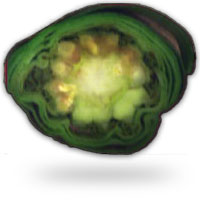
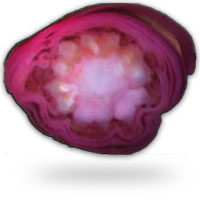
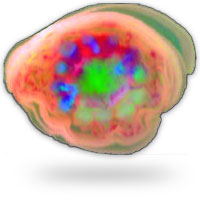
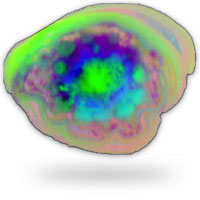
Hyperspectral Images of a Corn Ear Section
