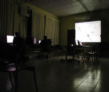
Galileo Group’s personnel are highly skilled in the analysis of hyperspectral and converting the analysis work into GIS maps and shape files products based on customers’ requirements. This allows us to seamlessly incorporate our data and analysis results into customizable GIS routines and programs.
- Computational approaches for converting spectral information to actionable information
- Isolate, visualize and map key variables and targets of interest using advanced detection methods, signature libraries and algorithms
- Perform scientific Investigation using known physical parameters layered with new hyperspectral observables to develop predictive models
- In-house mix of science, remote sensing and programming skills to maximize detection potential and automation output for recurring study and systematic management

